Skip to content

About SurvworX Labs

Building Practical Surveying and Geospatial Skills Through Real Experience

SurvworX Labs is a professional surveying training and innovation facility designed to give students, technicians, and professionals practical access to modern survey equipment, geospatial technologies, and training software in a structured learning environment.

Who We Are

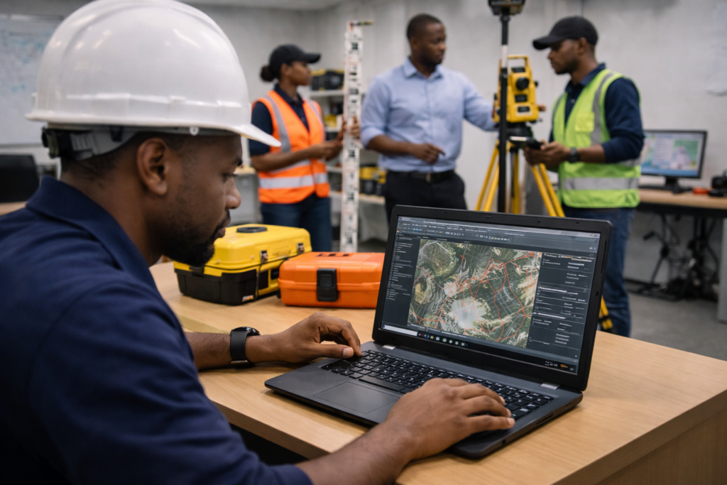
SurvworX Labs is a hands-on learning facility created for people who work with coordinates, mapping, spatial data, and surveying technologies. We provide access to survey equipment, specialized software, and technical learning resources that help users gain practical experience outside the traditional classroom environment.

Many institutions teach surveying, GIS, engineering, and related disciplines theoretically, but practical access to real instruments and industry-standard tools is often limited. SurvworX Labs was created to help close that gap by giving learners and practitioners a space to practice, experiment, and build confidence using professional tools.

Survey Equipment Practice

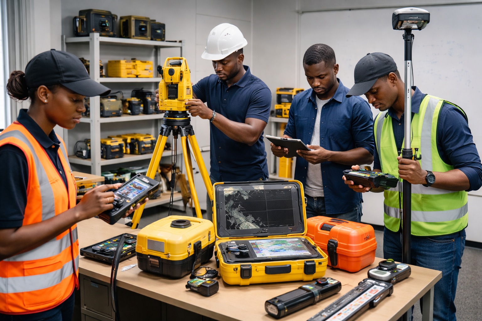
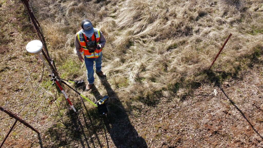
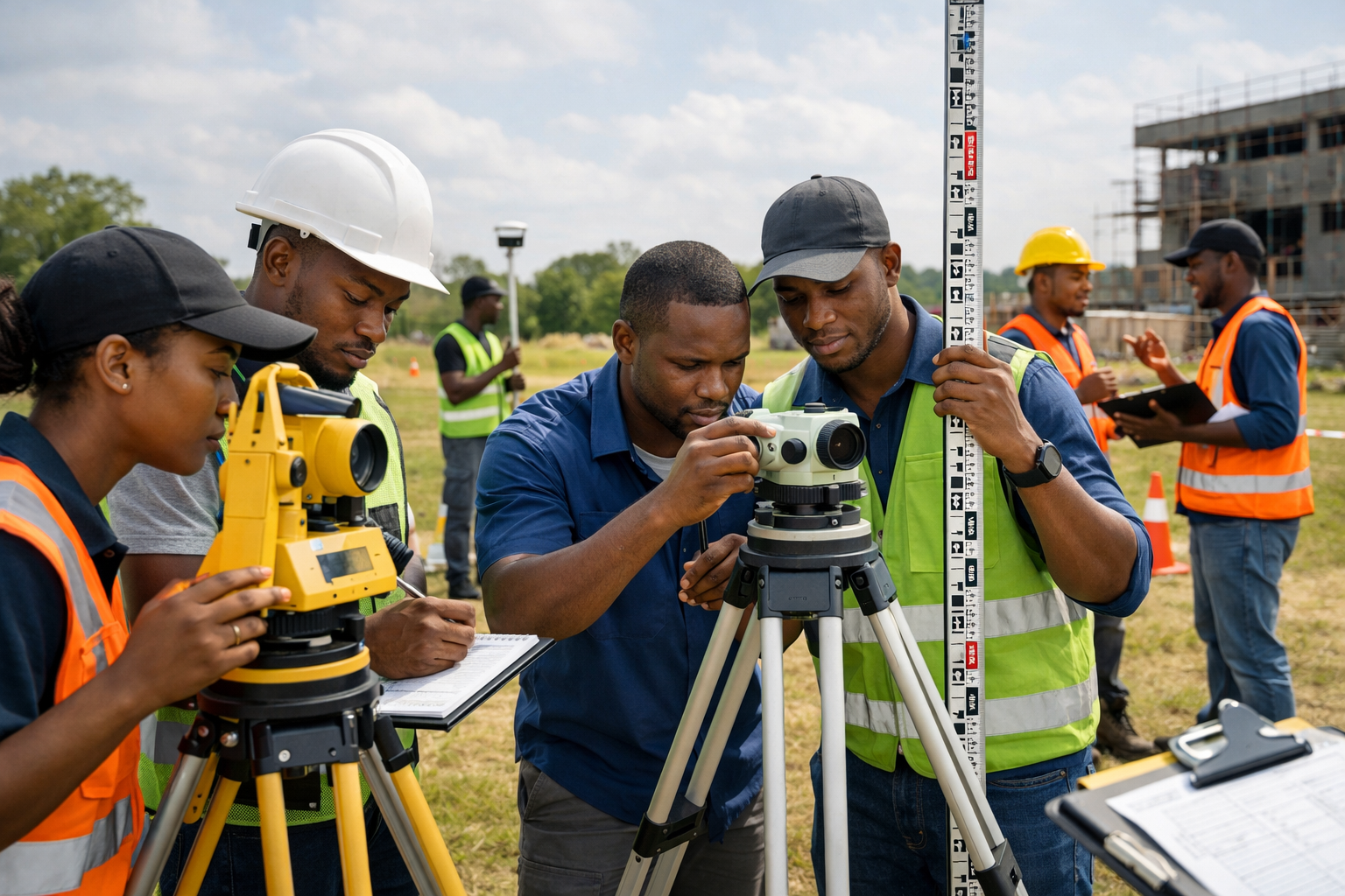
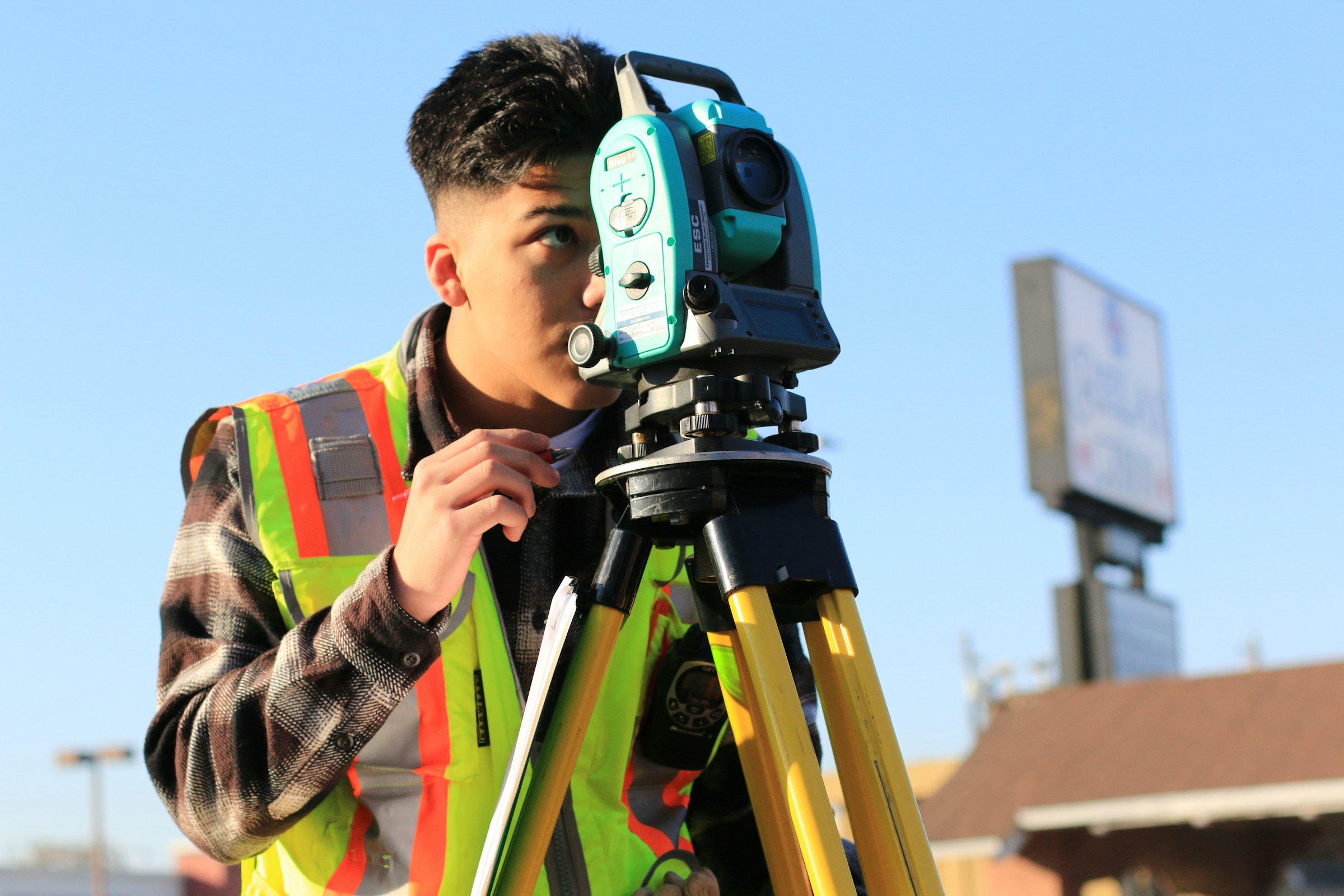
Members can gain practical experience using surveying instruments for leveling, angle and distance measurement, control work, topographic surveying, navigation, and coordinate acquisition.

Geospatial Software Access

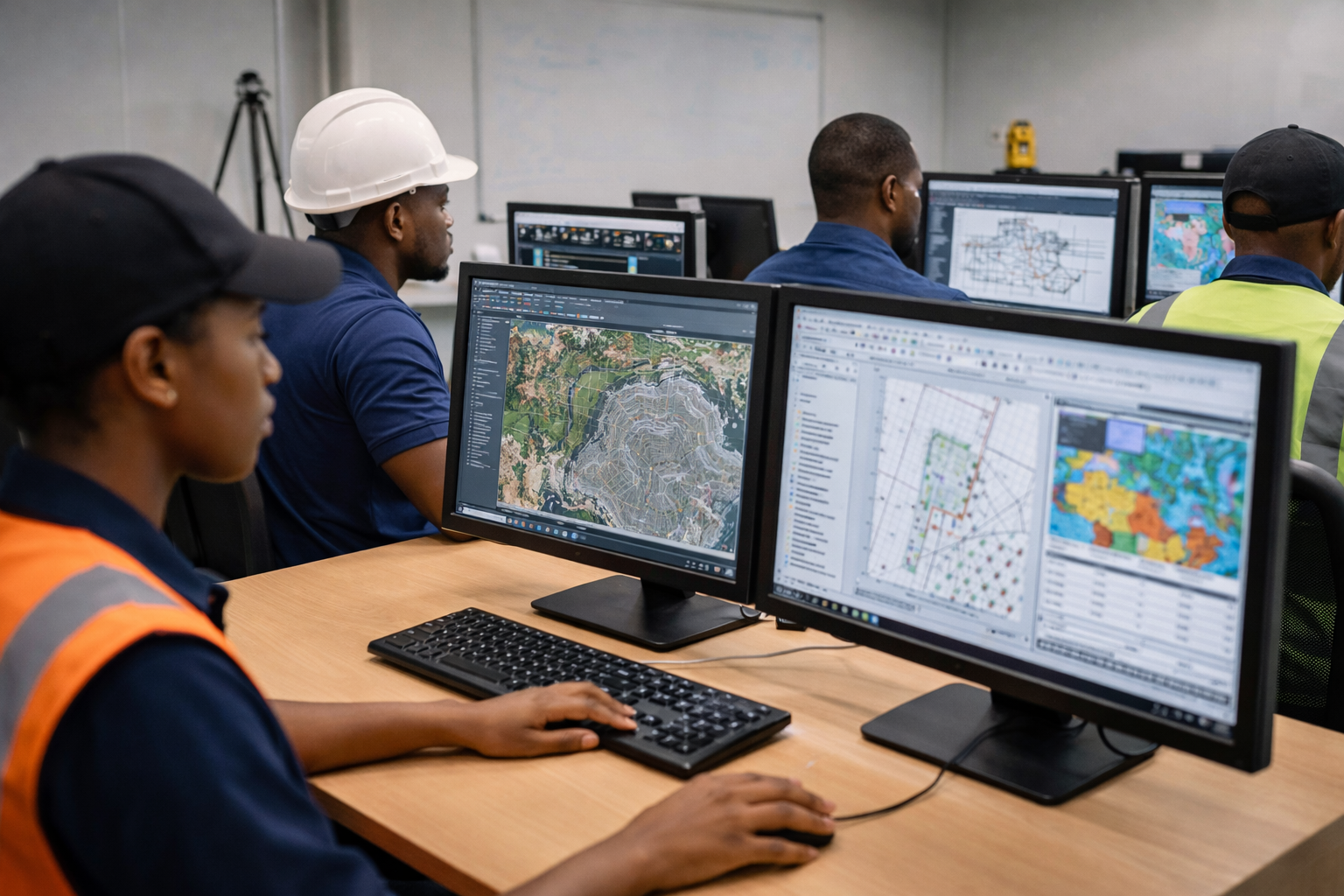
SurvworX Labs provides access to software used for GIS, engineering drafting, terrain modelling, survey data processing, and spatial analysis.

Technical Library

Users can access learning materials covering surveying principles, GIS, remote sensing, mining surveying, cartography, geospatial data analysis, and technical report writing.

Report Writing and Data Interpretation Support

Beyond field measurements, users are supported in building competence in technical documentation, data interpretation, map presentation, and reporting.

Who It’s For

Surveying, Geomatics, GIS, Mining Engineering, Civil Engineering, Urban and Regional Planning, Architecture, and Quantity Surveying.
Students
Practitioners in land surveying, mining, construction, infrastructure development, spatial planning, and GIS analysis.
Professionals
Individuals working with spatial data, geospatial technologies, mapping, and research-driven analysis.
Researchers

Learn by Doing

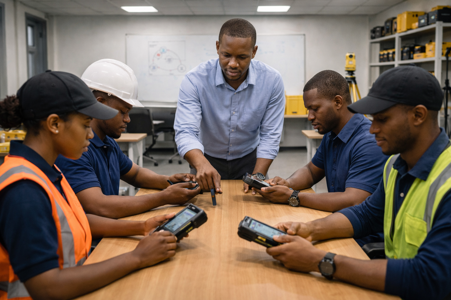
Our learning model emphasizes direct, repeated practice. Users are able to practice using instruments repeatedly, conduct simulated field surveys, process real spatial data, produce professional outputs, and receive guidance from experienced practitioners. This approach helps improve technical mastery, confidence, and real-world readiness.